It is difficult to predict landslides along the KKH because of technical limitations, a difficult environment, and problems with data accessibility.
Natural disasters are more likely to occur along the Karakoram Highway, making it difficult to predict landslides due to technical limitations, difficult environment, and data accessibility. In order to assess the relationship between landslide events and their underlying causes, this case study of Gilgit-Baltistan makes use of machine learning (ML) models and a landslide inventory.
The models used for this study included Naive Bayes (NB), K Nearest Neighbor (KNN), Random Forest (RF), Artificial Neural Network (ANN), and Extreme Gradient Boosting (XGBoost). An inventory was made using 303 landslide points, of which 70% were used for training and 30% for testing.
Fourteen landslide causative factors were used in the susceptibility mapping process. The accuracy of the models is compared using the receiver operating characteristic’s (ROC) area under the curve (AUC). Using the SBAS-InSAR (Small Baseline Subset—Interferometric Synthetic Aperture Radar) technique, the deformation of generated models in vulnerable areas was assessed.
The models’ sensitive areas displayed increased line-of-sight (LOS) deformation velocity. With the integration of SBAS-InSAR results, the XGBoost technique generates a superior landslide susceptibility map (LSM) for the area. A theoretical framework for the routine management of KKH is provided by this improved LSM, which also provides predictive modelling for disaster mitigation.
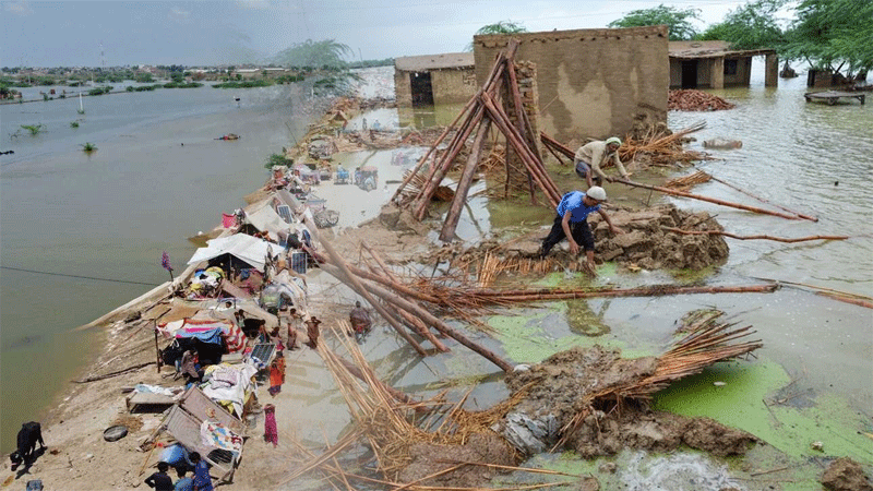
In the rough mountainous terrain of Gilgit Baltistan, Pakistan, this study investigates the mapping of landslide hazards along 332 km of the Karakoram Highway. Along the KKH, debris flows, rockfalls, and landslides are frequent occurrences that interfere with daily operations. Many people lost their lives and their wealth as a result of these natural disasters.
This work represents a new method of landslide mapping and forecasting in which modest remote sensing techniques, GIS tools, and various ML models are used to generate the LSM along the KKH, which is validated by the SBAS-InSAR technique. Due to the rugged topography, mapping landslides using traditional methods is thought to be a difficult task in mountainous terrain.
The machine learning models RF, XGBoost, RF, NB, ANN, and KNN were trained using a variety of landslide causative factors, including slope, geology, precipitation, TWI, proximity to the road, land cover, proximity to a fault, proximity to a stream, roughness, aspect, profile curvature, curvature, plan curvature, and elevation.
The results demonstrated that slope, TWI, proximity to the road, and roughness are the main causes of landslides in the area. ML algorithms and SBAS-InSAR techniques led to excellent forecasting results. The study region is extremely vulnerable to landslides in 10.67% of its area, according to the final and improved susceptibility map.
The corresponding percentages for the categories of high, moderate, low, and very low susceptibility were 11.34%, 22.81%, 28.64%, and 26.5%. Significant improvements to LSM may result from this work, especially in areas where the SBAS technique is appropriate and available.
Along with the KKH, this improved LSM can aid in disaster management, mitigation, and prevention. In order to lessen the likelihood of future landslide catastrophes in a particular area, geotechnical and other slope stabilisation techniques are also necessary.