Public transportation is going to be a pain to deal with the crowd. But Google’s latest addition to Google Maps might make all of our lives slightly less stressful.
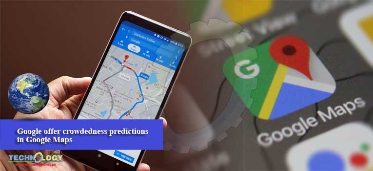
Google introduced crowdedness predictions in Google Maps. You can now see how crowded your train, bus, or subway is likely to be based on past rides.
Now, you can see real-time delays and how crowded your bus is on your way to work. Google Maps will even pinpoint where the delays are occurring, so you will know exactly what you’re getting into.
Google is also launching live traffic delays for buses “in places where we don’t already have real-time information direct from local transit agencies.”
You will now be able to see if your bus is running late, how long it will take to arrive, and the resulting travel time based on live traffic conditions on the bus’s route.
Google says that both of these features in Google Maps have begun rolling out in 200 cities around the world on iOS and Android.
When the bus schedule doesn’t match what’s happening in real-time, Google Maps will show exact arrival times at the bus stop. The transit view will also show problem points ahead where the bus is likely to hit more delays.